
NASA Aims to Revolutionize Coral Reef Research with Airborne Technology

Courtesy NASAA view of Australia’s Great Barrier Reef — one of the sites included in the CORAL study — from the sky.
NASA is looking to the sky to revolutionize coral-reef research.
With the help of its California-based Jet Propulsion Laboratory, NASA is now using remote sensing to examine coral reefs in a multimillion dollar three-year project appropriately named CORAL. The Coral Reef Airborne Laboratory will gather data from these threatened ecosystems using state-of-the-art instruments in airplanes and in the water.
Eric Hochberg, CORAL’s principal investigator, and his team will survey the conditions of entire reef systems in Florida, Palau, Hawaii, the Mariana Islands and Australia throughout 2016 to capture a greater overall picture of the reefs’ current state.
The airborne instrument developed by JPL is called the Portable Remote Imaging Spectrometer, aka PRISM, and it will be placed in a windowed nook on the bottom of airplanes. It functions just like its name by separating light into all the different colors of the spectrum, from ultraviolet to near infrared, and evaluating each independently.
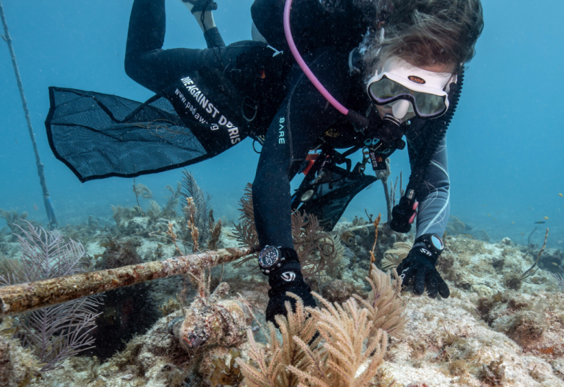
“It’s a fundamental difference when people go diving with a tape measure. They see a little bit of the reef, and it’s nice. But they don’t see the whole reef — and that’s what we’re doing.” - Eric Hochberg
Hochberg compares the current practice of scuba diving for about an hour at a time to being plopped in a forest for an hour and walking around.
“Can you really tell me all about the forest? You can tell me about the trees that you saw, but not about the whole forest,” he says.
PRISM’s spectroscopy continually samples every 3 nanometers on the light spectrum from 358 to 1050 nm. To put that in perspective, humans can see only in the visual spectrum, which is 400 to 800 nm.
“Because it can measure all of these colors — and it measures them very, very accurately — we can take that imagery and identify where the coral is, from 30,000 feet in the air,” says Hochberg.
Scientists currently believe pollution, ocean acidification, overfishing and more could be harming these reefs. The locations selected include areas with and without these factors, providing scientists with a large database to analyze for the second half of the project. After the data is collected, scientists will make maps of the sites and analyze the information to try to further understand what’s harming these ecosystems.
“That’s the nexus of CORAL: to improve our understanding of this fragile ecosystem,” says Michelle Gierach, the CORAL project scientist at JPL, “and to try — through that understanding — to better make predictions as to where they’re going with respect to climate change.”