
Tracking Shark Migration Patterns

Courtesy Christine Shepard
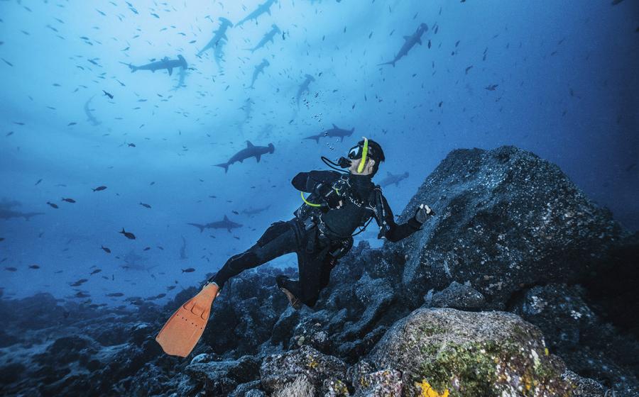
Scientists are getting closer to revealing the secret lives of sharks. An ongoing project at the R.J. Dunlap Marine Conservation Program at the University of Miami is utilizing a custom satellite-tagging network to track sharks and their travels in the Atlantic Ocean. On a typical outing, RJD scientists and students tag an average of three to five sharks. Media and virtual-learning manager for RJD, Christine Shepard, has joined researchers on numerous trips.
“We catch a variety of shark species, such as nurse, great hammerhead, lemon, blacktip, bull, tiger, and many more,” says Shepard.
Sharks are caught and released using methods intended to inflict minimal stress and harm.
“All the research methods we use are designed to promote health and survivorship in the sharks, while also gathering vital data to improve conservation management,” says Shepard.
The satellite tag records the shark’s location, as well as conditions surrounding the animal. Every time the shark surfaces, the satellite tag transmits data on water temperature and the depth at which it is swimming.
“I feel very fortunate to be working on a team with incredibly passionate and innovative marine scientists,” says Shepard. “Our work is aimed to not only further the science behind marine-conservation policy, but also to improve scientific literacy and marine-conservation ethics.”
You can sponsor individual satellite tags, and track the sharks using Google Maps.
» To follow the sharks, visit sharktagging.com.