Lake Ouachita, Arkansas
October 2007
By Zoie Clift
Name the water sport and you'll find enthusiasts who come to Lake Ouachita to do it: fish, swim, boat, water ski-and dive. Arkansas's largest lake boasts pristine, clear water plopped in the middle of green-forested mountains. One of the best ways to enjoy a weekend of diving here is to pitch a tent on the lakeshore and dive in front of your campsite.
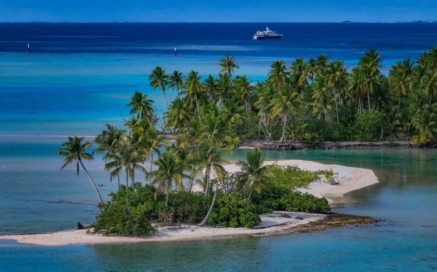
That's what I did one recent weekend when I set up camp on Crawdad Island, a submerged mountaintop on the east end of the lake. After suiting up and descending underwater, I find a sheer vertical bluff, a boulder-strewn ridge off the west end of Crawdad that drops down 100 feet to a former riverbed.
I follow the ridge to the northeast and continue my descent, happy that I heeded a fellow diver's suggestion to wear a dry suit-the water temperature is in the low 70s. At around 60 feet, a rock outcropping provides a base camp for striped bass and flathead catfish lazily drifting between boulders. The depth on this side of the island drops off to around 180 feet, and though the inner eight-year-old in me wants to continue exploring, a quick glance at my gauges tells me it is time to head for the surface.
This is my first time on Crawdad Island, a spit of rock that just barely shows up on a map and is shaped like the small crustacean it is named after.
Never heard of Lake Ouachita? Not surprising. Ouachita doesn't show up on most divers' radar, though local open-water students and scuba enthusiasts (as well as a fair amount of divers from Texas, Louisiana, Oklahoma and Mississippi) know it well. The 40-mile-long lake was created when the Ouachita River was dammed, flooding the mountain valley and submerging entire forests.
There are at least 30 distinct dive spots in the lake and plenty of underwater action to keep a diver occupied for a weekend or even a weeklong trip. The lake's geological formations, created millions of years ago when the earth's surface here was bent, twisted and deformed, are what set Lake Ouachita apart from other more mundane freshwater sites. The 16-mile "Geo-Float Trail," the first water-based trail in the nation, was created to help shed light on these natural formations. Many stops featured on the trail-Zebra Rock, Whirlpool and Checkerboard Point to name a few-are now some of the lake's most popular dive spots. (Local marinas carry brochures of the trail.) Zebra Rock gets its name from the white quartz veins in its dark sandstone rock. These veins, or "zebra stripes," usually indicate an area where faulting has occurred.
The clearest visibility, and one of the few shore diving opportunities, is at Blakely Mountain Dam on Ouachita's east end. The long steps that lead from the parking area to the water's edge continue to an underwater stairway where cables form a path to a series of sunken boats and vehicles at a variety of depths, many scuttled for diving instruction purposes. The rock face around the dam can reach almost 200 feet, the lake's maximum depth. Another spot of note is Wall 26, so large a diver may need two dives to see it all. Bring a dive light to bring out the white veins of quartz running through the face of the wall.
Once underwater, divers are accompanied by swirling schools of small bass (hence the lake's nickname, the Striped Bass Capital of the World), bream and catfish. You have a decent chance of encountering the rare and tiny (and nonstinging) freshwater jellyfish. Like their salt-water cousins, these thimble-shaped hydrozoa are translucent with long tentacles. The best time to spot them depends on water temperature (they prefer warm water) and on the plankton blooms, which usually occur from the end of May to around mid-June.
Lake diving might not be for everyone, but it gives landlocked divers a chance to practice skills between ocean dives. If you find yourself in Arkansas, be sure to keep Lake Ouachita on your radar.
InDepth
Getting There: Hwy. 270 out of Hot Springs leads directly to the lake. From Dallas, the lake is about five hours away. Take I-30 east until you merge onto 270 west. From here, signs will direct you to both Hot Springs and Lake Ouachita State Park.
Diving: For the most part, use a boat to visit the dive sites around the lake's many uninhabited islands. Surface water temps swing from the low 40s to about 95 in the summer. Visibility varies, with the best vis closest to the dam, increasing everywhere past the thermocline, up to 40 feet. Generally, you can see between 15 to 20 feet on the west end of the lake and 15 to 40 feet near the dam. It gets dark and cold at depth. Wear a 7mm suit if you plan to dive deep; otherwise, a 3mm suit will do.
Dive Operators: Two marinas catering to divers are located on the lake: Scuba & Archery Center, (501) 623-7062, www.saclodc.com, and Ocean Extreme Mountain Harbor, (870) 867-1223, www.oceanextreme.com. Crystal Springs Resort (501-991-3361, www.crystalspringsresort.com also has an air station.


