
New Interactive Map Makes It Easier to Scuba Dive Great Lakes Shipwrecks
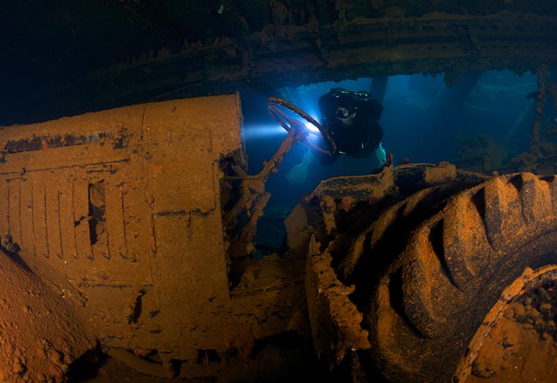
The 6,000-some shipwrecks found throughout the Great Lakes each hold their own stories — when they operated, what they carried, who they hosted aboard, and the circumstances that ultimately led to their watery demises.
Now, a new interactive map is making it easier than ever to delve — and dive — into the history that surrounds about 1,500 of these wrecks located in Michigan waters.
The Michigan Shipwrecks StoryMap and corresponding Michigan Shipwrecks Public Web App detail the locations, dive conditions and historic information of hundreds of the region’s wrecks.
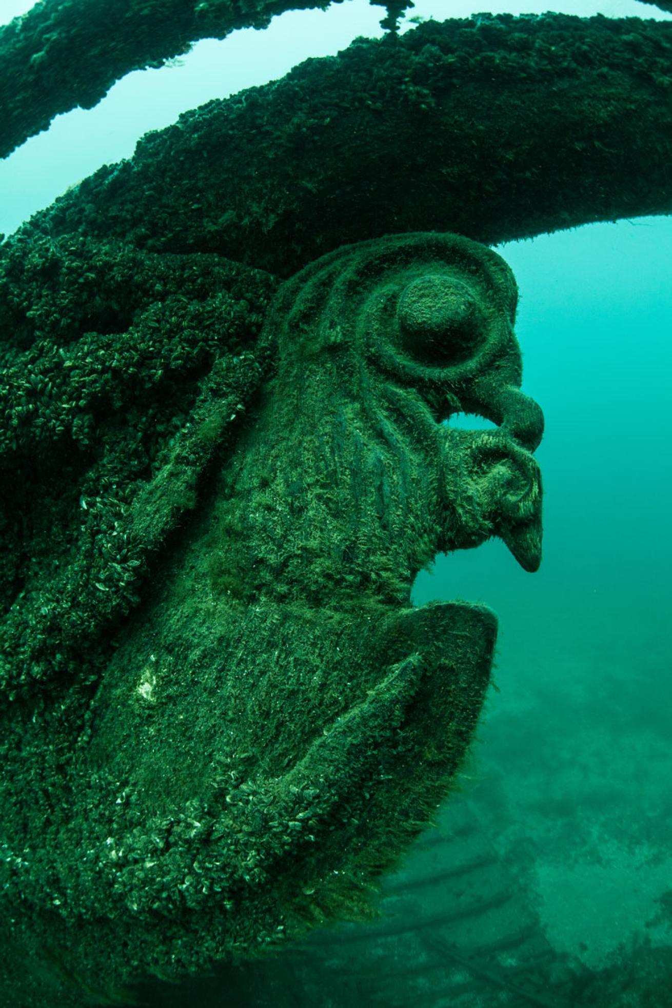
Ethan Daniels/Shutterstock.comThe figurehead of an old wooden schooner grows algae in the depths of Lake Michigan. Thousands of shipwrecks have been sent to the bottom of the Great Lakes by severe weather.
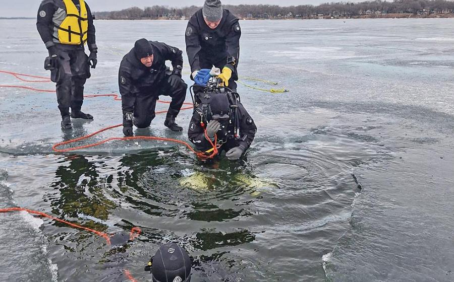
Divers looking to explore some of the best-preserved wrecks in the world can take advantage of the map’s extensive features. Sites can be searched by location or name; the level of difficulty for each site is identified as beginner, intermediate or advanced; and users can download or print their own customized PDF for easy dive planning.
Along with diving information, the map also details whether wrecks are accessible by kayak or canoe, descriptions of the ships and their sinkings, and photos and drawings if available.
“This new tool gives divers, kayakers, snorkelers and armchair explorers a chance to learn more about these underwater archaeological sites and the circumstances that led to the shipwrecks,” said Sandra Clark, director of the Michigan History Center, in a statement. “It’s a wonderfully interactive way to help people connect with this part of Michigan’s maritime history.”
Clark also reminds divers that removing any artifacts from shipwrecks is prohibited by Michigan law.
“The wrecks on the Great Lakes bottomlands belong to the people of Michigan,” she said. “If everyone follows the rule of ‘take only pictures and leave only bubbles,” we can ensure that these underwater time capsules will be available for future generations to explore, research and enjoy.”
Some popular dive sites, such as the Carl D. Bradley, are considered underwater burial sites since crew members went down with the ships. Such sites are not listed on the map.
The map will be continuously updated as new wrecks are discovered and more information becomes available. To explore both the story map and web app, visit Michigan.gov/ExploreShipwrecks.